
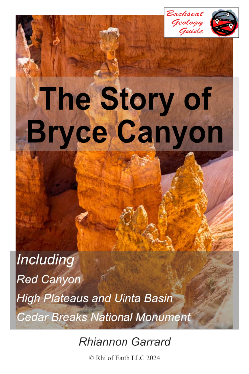
Bite-Sized Guide: High Plateaus
A clear, beautifully crafted 40‑page guide to Bryce Canyon and the region around it.
Designed to make your trip feel deeper, richer, and easier to understand.
Read it once — then see the landscape with new confidence
Download and go.

$9.97
How to Make Sense of What You See
Most people try to understand a place by starting small — a viewpoint, a trail, a single canyon.
Yet landscapes make more sense when you begin with the larger story they belong to.
This guide gives you that story first.
No jargon. No overwhelm.
Orientation before information.
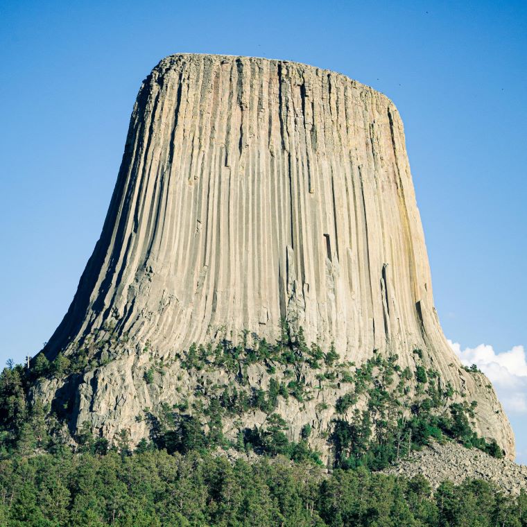
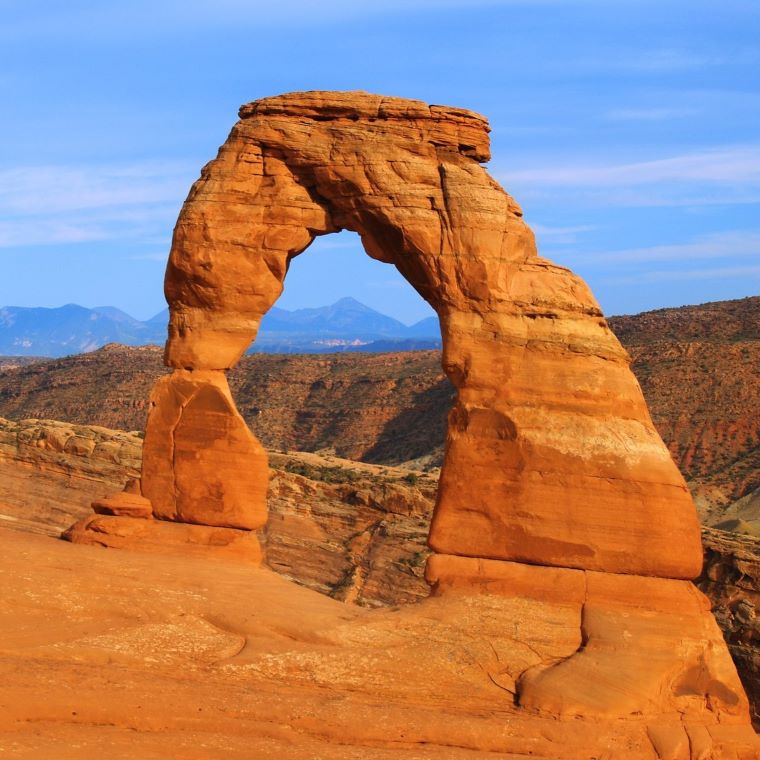
And in a region this young, bright pink, and still geologically restless, that context makes all the difference
How It Works
Read the guide in one sitting — on the drive, in your hotel, or at home before your trip.
Then take it with you.
Wherever you stop in this region, use the map and location index to identify which part of the story you’re standing in.
What You Gain
A way to understand the landscape without a geology background.
A pattern‑based method for reading the land.
A simple framework for keeping track of geologic time.
A guide you can reuse easily, building confidence each time.
Clarity about what’s known and what’s still unsolved.
Inside the guide:
A 40‑page narrative told in twelve bite‑sized pieces.
A map and location index for quick reference.
Photographs that train your eye and anchor each idea to real places.
Part of a six‑guide collection covering the Colorado Plateau.
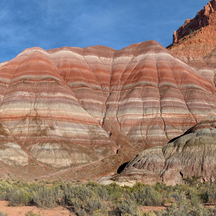
Where This Guide Applies
Guide covers the pink area on the map.
Destinations include:
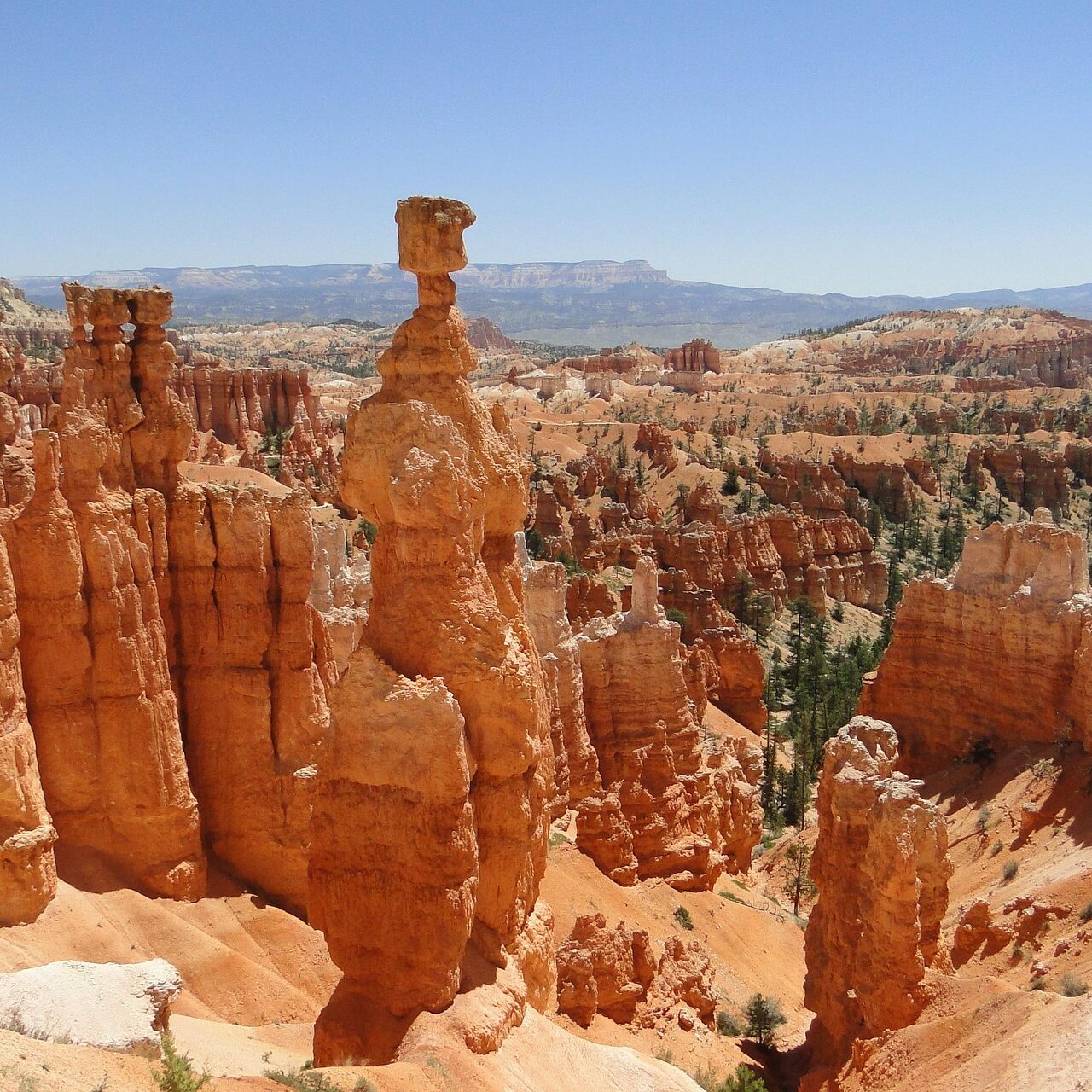
Bryce Canyon National Park
Cedar Breaks National Monument
Red Canyon
Tushar Mountains
Wasatch Plateau
Sevier Plateau
Uinta and Piceance Basins
Highways include:
Utah 89
Interstate 15
Utah 40